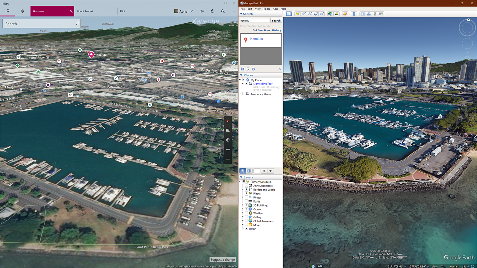
Honolulu, HI 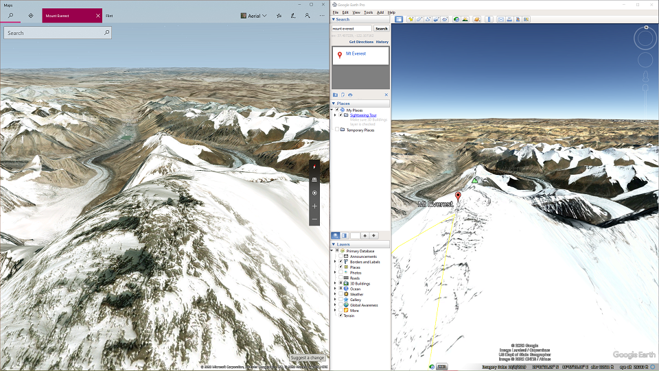
Mt. Everest 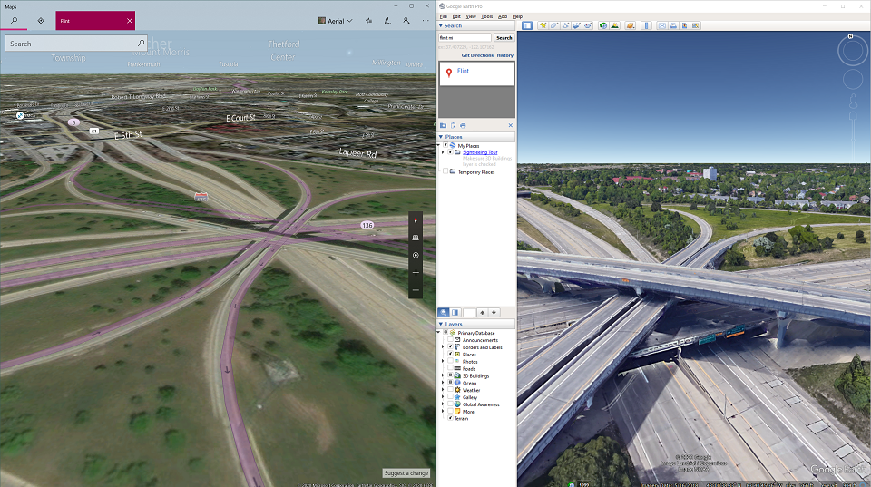
Flint, MI 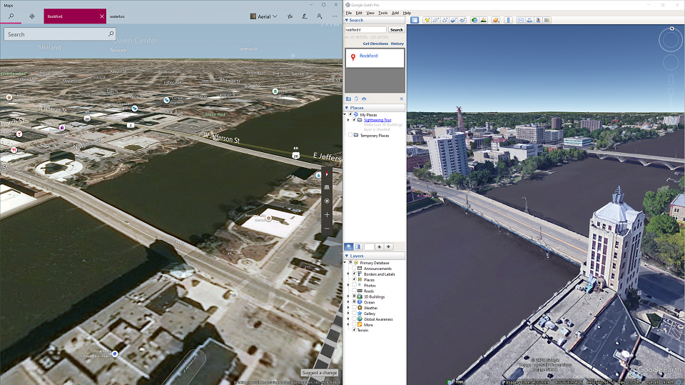
Rockford, IL 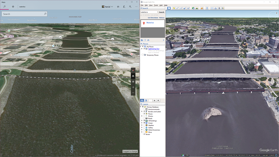
Waterloo, IA 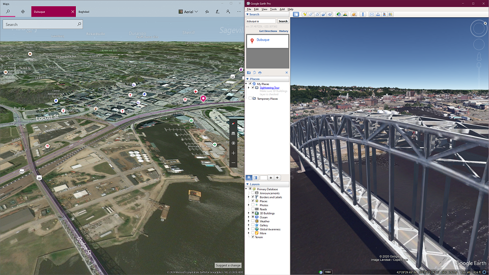
Dubuque, IA 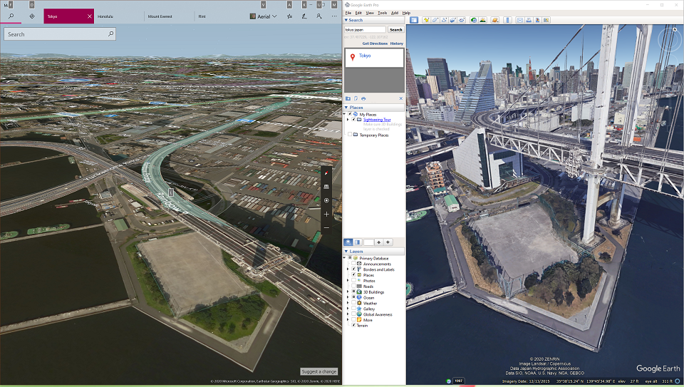
Tokyo, Japan
As I argued yesterday, you can’t Azure AI your way past complete utter, total lack of accurate data. Flight Simulator 2020 will leave Flight Simmers wishing that they had Google’s data. How bad will it be? Well, here’s a side-by-side comparison — a mix and match, including some major cities and mid-sized cities that you might want to fly a plane to.
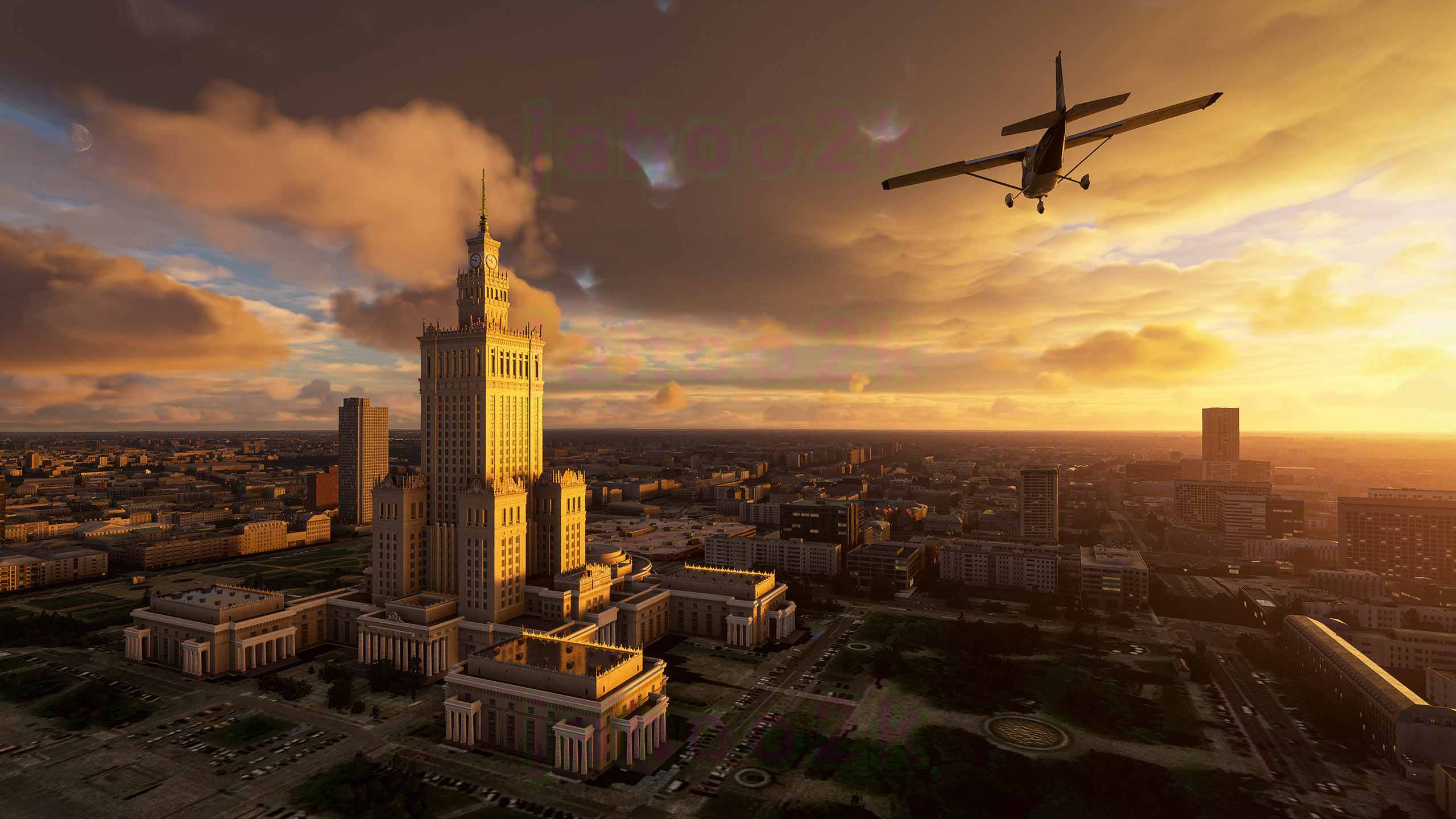
UPDATE: It should be noted that this is a comparison of Microsoft vs. Google data sets and none of these screens are from FS2020. However, it is relevant to note that FS2020 is using Microsoft’s Bing Maps to inform the sim about areas of the world that human artists don’t have the time, incentive, nor budget to painstakingly comb through. I do not have insider access, so I can’t tell you, for example, how good or bad Tokyo looks in FS2020, and even if I had insider access, I’d be bound by NDA to say nothing, however I can tell you that Microsoft published a pretty poor screen shot of Warsaw, Poland that was missing virtually all of the Warsaw skyline. None of these screenshots are from Flight Simulator 2020 therefore I am making no observations about what the actual scenery in FS2020 will actually look like, and in fact, much of what I’m talking about here is pure speculation. Microsoft could, for example, rely on additional surveys and artwork hand-crafted by 3D artists to render Tokyo… however… the point I’m trying to make here is that the forgotten parts of the world are going to be only as accurate as Bing Maps and Azure AI can artificially make guesses.
We all know that Google and Microsoft both have good data for New York and San Francisco… but what about Honolulu, Tokyo, Flint, Rockford, IL? What about the mountain ranges? This gallery might leave you wondering how in the heck Microsoft expects to employ Azure AI to auto-gen all this missing architecture. It would probably, honestly, be easier for them to just buy it from a vendor.

